ARLINGTON HEIGHTS, IL (September 27, 2022) – The Heartland Institute announced today the availability of a live radar feed and storm track covering the progress of Hurricane Ian as it approaches the western Florida coastline. It is provided as a free public service of The Heartland Institute without any licensing restrictions. Sharing on social media is encouraged.
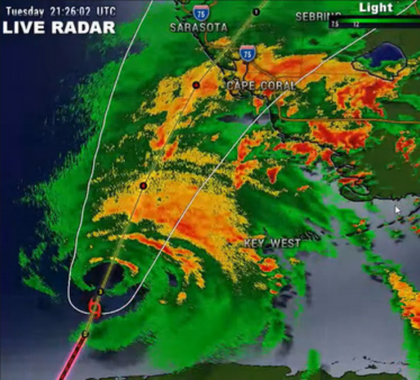
This live and real-time radar stream is coming directly from the National Weather Service WSR-88D NEXRAD network. It features a 3D view of south Florida and it will constantly update with new radar data and storm track, as well as the position of Ian. Periodically, and as the situation changes, different views may be displayed.
As the storm progresses, the radar view may switch to different locations. (You can play the feed here by hitting the play button below.)
Everyone at The Heartland Institute is extending its hope that everyone in the path of this storm remains safe. For questions, comments, etc. Contact [email protected].
###

Jim Lakely is the Vice President and Director of Communications of The Heartland Institute.

Anthony Watts is a senior fellow for environment and climate at The Heartland Institute.